

 |
UAV applications include:
-
Building inspections
-
Real Estate photography
-
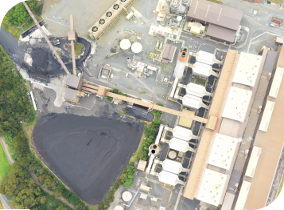
Aerial, flue and tower inspections
-
Photography for earthworks visualisations
-
Sports event photography and video
-
Construction monitoring
-
Search & Rescue
-
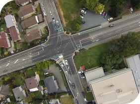
Accident surveying
-
Low level low cost aerial photography
Images may be available on the same day as photography dependant upon level of processing required.
Fixed Wing applications include:
-
High altitude, high resolution photography
-
Farm photography
-
Forestry mapping
-
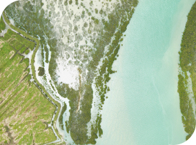
Flood surveys
-
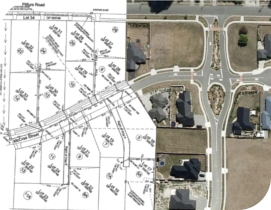
Orthophotos
-
Rectified photomosaics
-
Digital terrain models
-
Non-visible spectrum imagery
The range of UAV through to fixed wing aircraft allows us to offer aerial photography as a viable alternative to higher cost ground based survey for differing scales of projects. Aerial photography provides a high level of detail and comparable accuracy to ground based survey. Assumptions over the high cost of aerial photography are being challenged. As a result of the advent of digital cameras, UAVs and more efficient fixed wing aircraft, aerial photography is now following the general trend of greater quantities of data produced at lower cost.
We can provide a proposal to suit your particular requirements to deliver the optimum level of detail, accuracy and cost.
UAV and fixed wing photography is offered throughout New Zealand.
|


